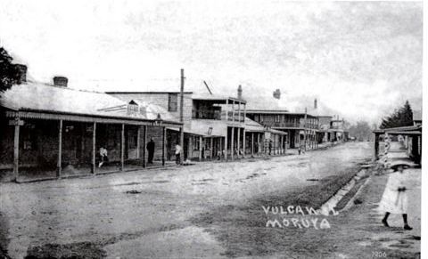
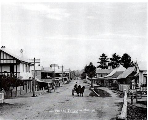
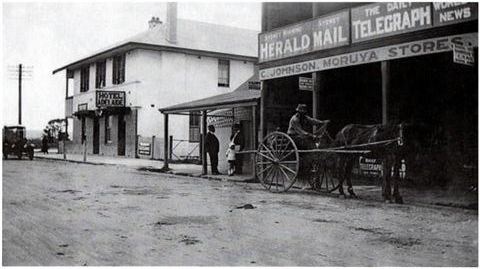
Vulcan Street is Moruya’s ‘main street’ and is part of The Princes Highway, the coastal highway that links Sydney and Melbourne, and has had a vital role to play in the history of Moruya.
As pressure from new settlers grew on the colonial authorities to open up the land on the southern side of the Moruya River, the surveyor Parkinson was sent to lay out a new town. Following this, the town of Moruya was gazetted in 1851. It centred about the track opposite to where the road from Broulee terminated at the river bank, the two being linked by a punt.
As there already was a blacksmith on that track, it was named Vulcan Street. The other initial streets were Campbell, Queen and Church. Campbell Street owed its name to the squatter William Campbell, Queen Street to patriotism and Church Street to the Catholic Church’s presence there. Land sales commenced in 1852. Many of the blocks went to local settlers but Campbell cornered a large slice of the market.
Below is a series of photos of Vulcan Street through the decades.
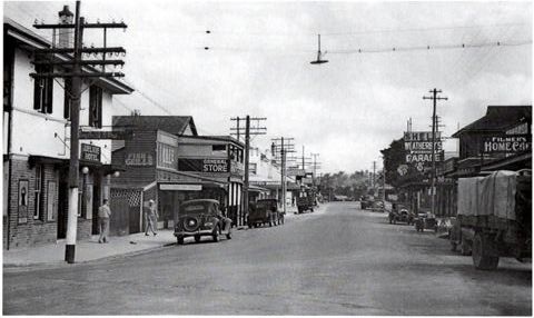
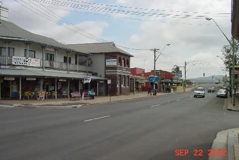
Vulcan Street is still a busy, commercial street with a real mix of architectural styles and function.
Do you have any information or anecdotes about Vulcan Street and its history. While the Society has good information about the street we are always looking for more.
If you can help us make the history of the street ‘live and breathe’ through anecdotes, could you do please include these in your comments (following this post).

Leave a Reply